

Latest Weather Blog
Wednesday PM Forecast: Storms set to multiply as a messier pattern arrives over the weekend
Scattered afternoon downpours aren't going anywhere. In fact, the forecast turns even wetter over the weekend, bringing less dry time and a higher chance of outdoor disruptions into next week.
Tonight & Tomorrow: Like clockwork, afternoon storms will quickly fizzle into the night. Skies will clear out, and morning commuters will be greeted with sunshine and a low in the mid-70s. Temperatures will return to the lower and middle 90s on Thursday afternoon.

Use the slider to advance through the next 24 hours of Futurecast
The heat and steam will ignite another round of scattered afternoon thunderstorms, similar to recent days. This is a notable change from recent forecasts, which called for a slight reduction in storm coverage. While one upper-level disturbance is on its way out, a subtle new feature is moving in behind it, bringing just enough energy to bump up storm coverage. Any storm will be capable of torrential rain, frequent lightning, and the occasional wind gust. Don’t expect Thursday storms to linger long into the evening.
Up Next: The same cycle of heat and steam leading to afternoon thunderstorms will continue at least through Friday. However, as moisture surges over the weekend, daily thunderstorms will multiply. While Saturday's storms still look somewhat scattered, most of the area will see a downpour on Sunday. Beginning Sunday, these storms may also expand beyond the typical afternoon hours. Activity will become even more widespread on Monday, with this wet pattern persisting through midweek.

As storm coverage increases, so will the likelihood of disruptions to outdoor plans. Be ready to move indoors over the weekend if thunder is within earshot. Into next week, the wet weather may lead to messy commutes as well. Most of the area will receive 1 to 3 inches of rain over the next seven days. Because heavy summer downpours can dump that entire amount at once, there could be localized bullseyes with much higher totals. While any storm can cause minor street and poor-drainage flooding, that risk increases early next week.
Trending News
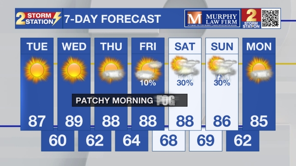
Get the latest 7-day forecast and real-time weather updates HERE.
Watch live news HERE.
The Tropics: For the Gulf, Caribbean, and Atlantic, all is quiet. No tropical development is expected over the next seven days.
— Meteorologist Malcolm Byron
The Storm Station is here for you, on every platform. Your weather updates can be found on News 2, wbrz.com, and the WBRZ WX App on your Apple or Android device. Follow WBRZ Weather on Facebook and X for even more weather updates while you are on the go.
More News

